Including buildings
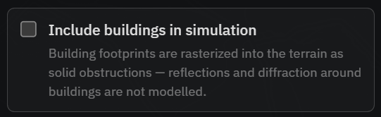
In built-up areas, structures block signal as much as terrain does. Tick Include buildings in simulation in the Coverage section to fold building footprints into the model.
What it does
Building footprints are rasterised into the terrain as solid obstructions — they block line of sight and cast radio shadows just like raised ground.
What isn’t modelled
Reflections and diffraction around buildings, and vegetation, are not simulated. Because real signal bounces and bends around structures, the app notes that “coverage may be overestimated in vegetation and urban areas.” Treat dense-urban results as a conservative line-of-sight picture rather than a full multipath model.
Cost
Buildings add a download and assembly step and more compute, so runs are slower. Enable them when you’re focused on a town or city; leave them off for open terrain. See Performance for tips.