LOS vs RF (FSPL & ITM)
Waveshed answers two different questions. LOS is about visibility; RF is about signal. Picking the right one matters.
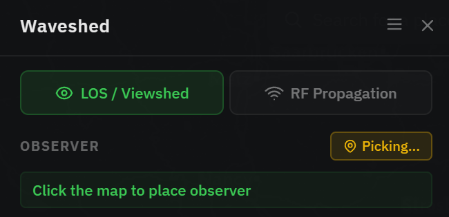
LOS / Viewshed
Pure geometry: from your observer, is there an unobstructed sight line to each point, given the terrain and the curve of the earth? That’s a viewshed — “what can I see from here”. It’s fast and frequency-independent: ideal for vantage points, optical/laser links, or a quick feel for whether two spots can “see” each other.
RF propagation
RF estimates path loss to predict received signal strength. Two models:
- FSPL (Free Space Path Loss) — the simplest case: distance and frequency only, no terrain. A quick best-case figure. (Coming soon in Waveshed.)
- ITM / Longley-Rice — the irregular-terrain model that accounts for terrain diffraction. It’s the industry standard for real coverage and the model Waveshed uses today. It needs a frequency and a transmit power.
Earth curvature
LOS uses the true optical horizon. Radio bends slightly with the atmosphere, so RF uses the conventional 4/3 effective-earth radius — its horizon reaches a little further than the optical one. You can see both rays side by side in the elevation-profile tool.